
Gale-force winds are hitting us head-on, as we scale the peaks of Trotternish Ridge. Our tent held up well at 7bft (The aisle of Skye gave us the chance to test in up to 9bft on Trotternish Ridge but we gave it a pass). Can you imagine a better vacation?
06.04 (Thursday) We take the evening train from London via Edinburgh to Glasgow. Despite freezing temperatures, the city is full of very lightly dressed girls. We spend the night at the Holiday Inn.
07.04. (Friday) For the next leg of our journey we take the 6:40 bus to Portree. It is a 6h bus ride to Portree past the key stops of the West Highland Way. Finally, we take the bus 57c to the famous red phonebooth in Duntlum.


We shoulder our backpacks and start the hike to Rubha Hunish. The sun is shining and our steps are light. It’s a short walk to Rubha Hunish. We take a break at the lookout boothy.


We continue along the coastline over high moore and green fields. We cut across the island past St Molaug’s Church to Balmaqueen. A very nice family refills our water bottles and we continue along the coast.


The path runs Cliffside of a fence with a few meters to the cliff edge. But the views are great. After another high more we decide to stop for the night. We find the perfect spot to pitch our tent, between the Ocean and Quiraing.


We have dinner and go to bed among the sheeps.
Daily statistics: We hiked 9km in 4h incl. breaks (2,3km/h), with 130m ascent and 100m descent; 9km total. First part was easy to hike. Cliffside at Balmaqueen was narrow but ok. Last bit before our camp site was boggy.
8.4. (Saturday) The sun wakes us in the morning. We have cereals for breakfast – with milk powder that blends perfectly and tastes like moore water. We continue our hike along the cliff and after a while, descend to the Sea.


We cross Flodigarry and head into Quiraing. We stop at Loch Langaig and watch a bride surprise the groom with a tent by the lake.


Now the steep climb starts into the Quiraing. Past three lakes, we reach a beautiful valley. It is a wonderful day so we decide to hike the top of Quiraing. And it’s worth it. We are rewarded with fantastic views on Rubha Hunish and the Quiraing.


A few more meters to the summit. From there, we see the Trotternish Ridge all the way to the Storr for the first time. It is beautiful.


We descend to the road. Beyond the parking space, we start to leave the tourist hoards behind us. We climb upwards into the evening sun.
Our legs are getting tired, so we decide to find a spot for the night. We find a nice and sheltered slot just after the first hill. The wind is picking up and blows strongly through the night.


Daily statistics: We walked 14km in 9h incl breaks (1.6km/h), with 700m ascent and 500m descent; 23km total). Trail was largely good, short bit along the road and a steep climb into Quiraing. Boggy and wet towards the parking lot. Camp site was good, next option would be past the moore another 3-4km or pot even only in the next valley.
09.04. (Sunday) we set the alarm at 6:00. 1.5h later, we have packed up and are on our way. We have a long leg ahead of us. Fully motivated, we head into at least 1km of high more, before we hit the first ascent. The ascent is a relief compared to the slushy grass and bogheads of the moore.


At the first peak, Beginn Esra, the wind hits us with gale force. We need to put on our rain jackets to battle the wind. We walk a few meeters away from the trail to not be blown off the cliffs. On the descent, we can lean into the wind. At the bottom, we take a break. This is our dance. We dance over the next 6 hills in this way. The wind increases to pick up. Windfinder claims gusts of 35+ knots but gusts don’t seem to stop. Apparently, wind speeds went well above 40kts. Head on (actually, wind comes from all sides almost simultaneously). That qualifies as the gale force winds, we were looking for. Next time we will remember toinclude the wind when we check the weather forecast.


We deliberate spending one more night on the ridge. But we find a shortcut over the Store and after a final cliff, we meet up with the tourist hoards at the Old Man of Storr.


The last kilometers to the road are painful. Furthermore, the rain starts to stets in. We decide to take a break and rent a room in Portree. We hitch a ride with a very nice Brazilian couple that go out if their way to take us to Portree. Our hostel is nice with a fantastic room. We go to sleep in the soft bed at 8pm.

Daily statistics: We hiked 19km in 11h incl. breaks (1.7km/h) with 850m ascent and 950m descent: 43km total). Trail was difficult due to high winds, very boggy/wet. Difficult to find the trail at times (when it is not going directly along the cliff edge). No danger as there is always the option to walk further away from the cliff edge. Trail over the Old Man was difficult to find. We aimed for the right elevation and crossed until we found the path. Path to the tourist trail passes directly above the cliff edge for a few meters but no issue. Stone steps on the tourist trail hare horrible to walk with tired legs.
10.04. (Monday) Sometimes you realize only much later that you made the right decision. Not this time. As soon as we have our Scottish Breakfast on the table while heavy Rain is hammering against the windows, we know that we made the right decision to stay in Portree.
We take time to relax and recover from our long march. Portree does not really lend itself to sightseeing. We go shopping at Co-Op and take pictures of the colorful houses.

The challenge of the day is to find a working ATM to get cash to pay for fish and chips.
We end the evening with a Haggis Pizza (for Michi, Fabian sticks to the boring, traditional stuff.

We sleep well although Fabian with light fever, presumably from a bladder infection.
11.04. (Tuesday) The day starts with sun and showers. We have a wonderful breakfast and say goodbye to our hosts.


We decide to take the bus to Sligachan and make our way through the Cullin Range. We follow the well built-out Sligachan trail, Black Cullins to the right, left Cullins to the left. The views are stunning.


We hike past the beautiful Loch an Athain and Loch na Creitheach. We had decided before that we would not hike to Loch Coruisk and thus would avoid further ascents as well as the Bad Step.


We finally reach the shore at Camasunary, where we take a longer break.


We want to do the first part of the costal cliff path to Glen Scaldal. The path starts with a small climb and then winds along the coast, always directly along the cliff edge. Not particularly dangerous but it’s better to watch our feet, especially since the path is muddy and slippery.


We take our time and finally descend into the Glen Scaldal. Here, as well as along the entire cost, lies a huge amount of plastic trash. Nonetheless, we find a nice spot to camp and pitch our tent. Only minutes later it starts to rain.


Daily statistics: We hiked 16km in 7:30h incl. breaks (2.1km/h) with 150m ascent and 150m descent; 59km total). The Sligachan trail is well built out with may river crossings (always with stepping stones) until Loch an Athain. Afterwards boggy/wet as rivers run through the fields. After Camasunary first a short climbing piece, than a very narrow path directly along the cliff edge. Few trees growing across the path, shrubbery across the path, some up and down requires concentration esp when wet. Eroded descent to Glen Scaldal. Camping spot is nice but a lot of plastic trash lying around.
12.04. (Wednesday) It starts to rain shortly after we break our (wet) camp. We continue along the cliff path towards Elgol. Its even muddier and more slippery than yesterday.


After a painful 2h (yes, 1km/h), we arrive safely at Elgol. The rain picks up while we get a coffee in the local supermarket. We plan to wait it out but after ca. 1h decide to call it a day. Sometimes, it takes a long time to see if you made the right decision. Again, not this time. We sit in the Bayview B&B and watch heavy Rain hit the windows, while we put another log on the fire. There is no envy when we watch hikers packed in heavy Rain gear walk by outside.


Daily statistics: We walked 5.5km in 3h with only small breaks (1.8km/h) and 100m ascent and 50m descent; 65km total. Path is narrow, mostly along the cliff edge. Not high but high enough that a fall would be painful. Parts of the path eroded. Stretch requires concentration esp. when wet and muddy.
13.04. (Thursday) We decide to take another break day. The weather has cleared overnight and we can see snow covered mountains. Last night’s rain has turned into snow as low as 200m up. We enjoy our Scottish Breakfast from the warmth of the Bayview’s living room.

We decide to take a boat trip to Loch Coruisk. There are two competing boat operators in the harbor. The first one almost sold us tickets for a late trip, but we checked with the competition and got on a much earlier boat (28GBP pp). We take the standard 3h trip with 90min to explore on land and find it plenty of time. It’s a calm day and a pleasant boat ride. We admire the mountains but also the path we hiked over the past 2 days, as well as our camping spot at the beach.


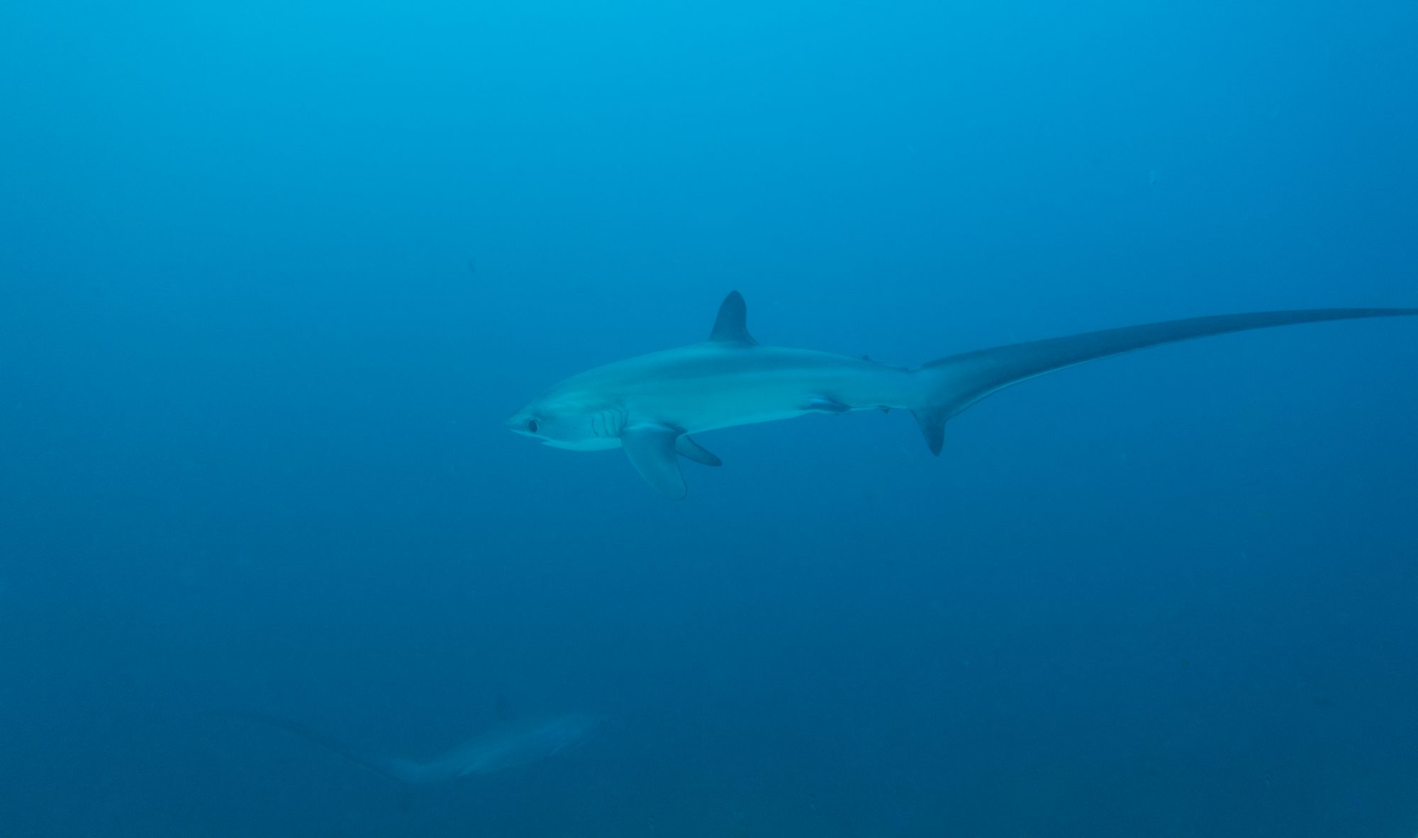
At the Coruisk landing spot we watch a colony of 150 harbor seals laying in the sun and swimming. We also drive by the infamous Bad Step, which looks ok with a light backpack in dry conditions (or with a secure rope), the rest of the hike looks like it requires dry conditions)

From the landing spot we follow the river for ca. 400m to reach Loch Coruisk and hike another km up the lake for a beautiful view. Loch Coruisk is not spectacularly more beautiful than Loch na Creitheach but it is beautiful with steep lining walls and snow covered peaks in the background.


Back at Elgol, we explore the Honeycomb rock at Elgol harbor. We have Tuna Sandwiches for dinner at the shop and relax in the afternoon.


In the evening, we have dinner in the Michelin mentioned Coruisk House. Clare and her team welcome us with a Talisker Whisky Sour and serve fresh local food, zabaglione as amuse bouch,chicken-based soup, bred with wild garlic, megrim terrine with king scallop and myself, lamb chop with ratatouille and creme brulee and cheese for desert (wine: Carnas).


While Elgol may only have 40 or so inhabitants, it is a very stretched out village and we walk 1.5km back to our beds.
Friday (14.04) Its our last day on the Skye trail. We deliberated, whether we should go back to Glasgow early but luckily, we decide to hike from Torrin (rather from Kilmarie road end) to Broadford. We conveniently stop the bus in front of our B&B (it is really handy that you can stop the bus anywhere on the road) and go to Kilmarie. The leg we are skipping looks ok but not very exciting. It’s a long stretch around Loch Slapin.

We start in perfect weather, albeit cold temperatures and head towards the shore. We walk on a small road through the small town, past the Marmor plant and to the coast. From there we continue on an old, abandoned road up hill and enjoy the views on Loch Slapin.


The road ends at a sheep gate and we continue upward on a narrow, muddy path. After a while, we reach Suisnish and see the first ruins of houses abandoned in the 1850s when the locals were forced to leave their land and homes were burned to make space for more profitable sheep farming. This eviction is called the Clearance. Our last host, Jonathan, has told us that his family has lived in the area. Most of the family moves to the USA, few stayed.


We reach the cliffs. The “path” descends to the beach but is almost fully eroded. We walk over big rocks. Sun is shining while we can see rain coming down on the other side of Loch Eishort.


Behind the rocky beach lies the former village of Boreraig. The spot is beautiful, overlooking Loch Eishort. Judging from the ruins, this has been a large village. But as Suisnish, Boreraig fell victim to the Clearance.


We climb back over the hills towards Broadford. One last time we look at the snow covered Cullin Mountains.


We descend to the street to catch the bus from the old Church to Broadford (same bus driver, again we are the only passengers). Our goal is to catch the afternoon bus back. Buses and trains are quite sold out. Therefore, we can take the bus only to Fort William and take the Caledonian Sleeper Train to Edinburgh.

We have Pizza and Langustinies at the Post office cafe and wait for our bus. As the busses are quite booked out, we go to Fort William and take the Caledonian Sleeper to Edinburgh. “Sleeper” stands for both, the type of train (with beds) and the speed of the train (glacially slow). We arrive at Edinburgh Waverly at 1am. The station is already closed, so we get a personal escort out of the station. We stay at the Bonham Hotel in an old town house in the West end.
Daily statistics: We walked 17km in 5h including breaks (3.3km/h), with 270m ascent and 270m descent. This brings our total distance to 82km walked in 40h over 6 days (ascent and descent: 2200m each). We camped 3 nights and stayed in B&Bs for 4 nights. Thereby, we covered 4 of 7 stages of the Skye Trail (Duntlum to Flodigarry, Flodigarry to Old Man, Sligachan to Elgol and Torrin to Broadford), while using the bus / thumb on three stages (Old Man to Portree, Portree to Sligachan, Elgol to Torrin). In our view, we have made perfect choices esp. given the weather but also our need to rest. We feel that we have done the most beautiful sections of the trail (Quiraing, Trotternish Ridge, Sligachan Trail). Overall, we really enjoy the trail, it’s beauty, the adventure and the incredibly friendly people along the way
15.04 (Saturday) we have a nice breakfast at the hotel.

And, of course, we take the chance to explore Edinburgh. First stop is Edinburgh Castle. The weather is fantastic. We walk through the different yards, skipping most of the exhibitions. We look at the crown jewels (the Stone of Destiny is still in Edinburgh but will be brought to London next month for the coronation of King Charles) and the Great Hall.


We follow the Royal Mile down into the city. I had not realized that the Royal Mile sits on an upward sloping hill that is covered under houses and streets. The street itself is lined by cheep souvenir shops, and few historical buildings (most are rebuilt in the 20th century). We stop for the best Haggis in town at the Arcade Bar.


Our third educational activity is a tour of the underground and the old town. Our guide takes us under the streets. Through an inconspicuous doorway, we descend under the old southbridge, which is completely buried. Apparently, Arthur Conan Doyle’s medicine Professor, who inspired Sherlock Holmes, lived in the underground apartment for a while We descend further, only to emerge on the streets below the Royal Mile. We continue along the Royal Mile and listen to stories about lost wars, and Edinburgh becoming a dirt hole. We end the tour at the grave of Adam Smith. Admittedly, it’s a bit moving.


After a quick stop at a pub, we climb the Calvin Hill for a view over the city and stop at Topping & Co. to browse for books and drink (free) coffee.


Finally, on our way home, we visit Dean Village directly behind our hotel.


We end the evening in the hotel bar with snacks and drinks.

16.04 (Sunday) not much left to do. After breakfast, we pack our bags and take the train from Waverly Station back to London.


Isle of Skye, it has been a fantastic trip.